CONFERENCES & WEBINARS
NJADAPT: New Tools and Critical Enhancements
NJADAPT is a suite of data visualization and mapping tools providing critical support in planning for future climate conditions, assessing climate change related hazards, and communicating risks and hazards. Guided by input from our users, the Rutgers team has thoroughly enhanced NJADAPT with new and updated data, guidance for applying the tools to local planning, and numerous new features including links to municipal land-use, public health, and hazard mitigation planning.
Join Lucas Marxen, Associate Director, NJAES Office of Research Analytics, for an introduction to the latest release of these powerful decision-support tools, and learn how to use them in your own practice. Products to be discussed include:
• New Jersey Public Health Adapt
An online tool for exploring the potential impacts of climate change on public health.
• New Jersey Local Planning Navigator
The first of our guided tools to help municipalities develop Climate Change-Related Hazard Vulnerability Assessments under the NJ Municipal Land Use Law.
• Updates to NJADAPT Tools
Overview of some of the updated datasets and analyses included in our existing NJADAPT tools.
• Hazardous Materials/Substances Commercial Facilities Flood Analysis
A statewide analysis of commercial facilities with hazardous materials/substances that could be impacted by flooding, with correlation to Overburdened Communities.
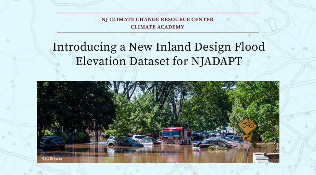
• Statewide FEMA 100-Year Flood Zone +3ft Data Layer
Upcoming release of a statewide GIS data layer for planning purposes to visualize the FEMA 100-Year Flood Zone plus and additional 3 feet of flooding as specified under the NJDEP’s Inland Flood Rule.
View More
NJ Nature-Based Solutions for a Changing Climate
State of the Climate: New Jersey 2024
Sustaining Innovation in New Jersey Climate Policy

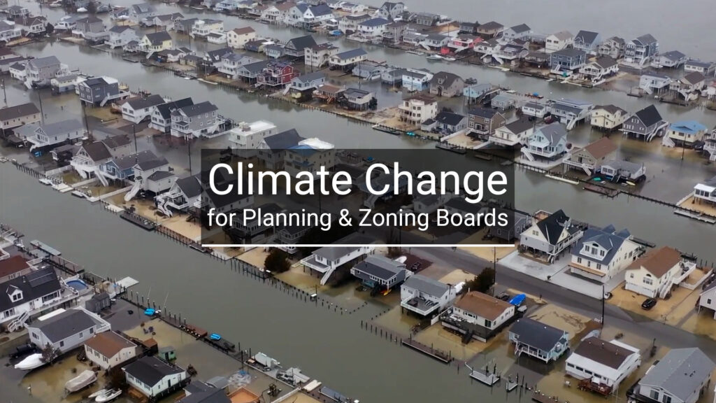
Climate Change for Planning & Zoning Boards

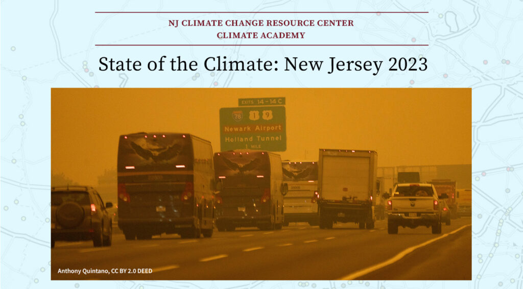
State of the Climate: New Jersey 2023


